Log in
All resources
Create a design
1,062 Free Artworks of Charts And Maps
charts and maps of the royal museums greenwich
1682 maps
maps by oliva family
1592 maps
old maps of the aegean sea
1838 maps
maps in the library of congress
1680 maps
1632 maps
1797 maps
maps in the library of congress
1680 maps
charts and maps of the royal museums greenwich
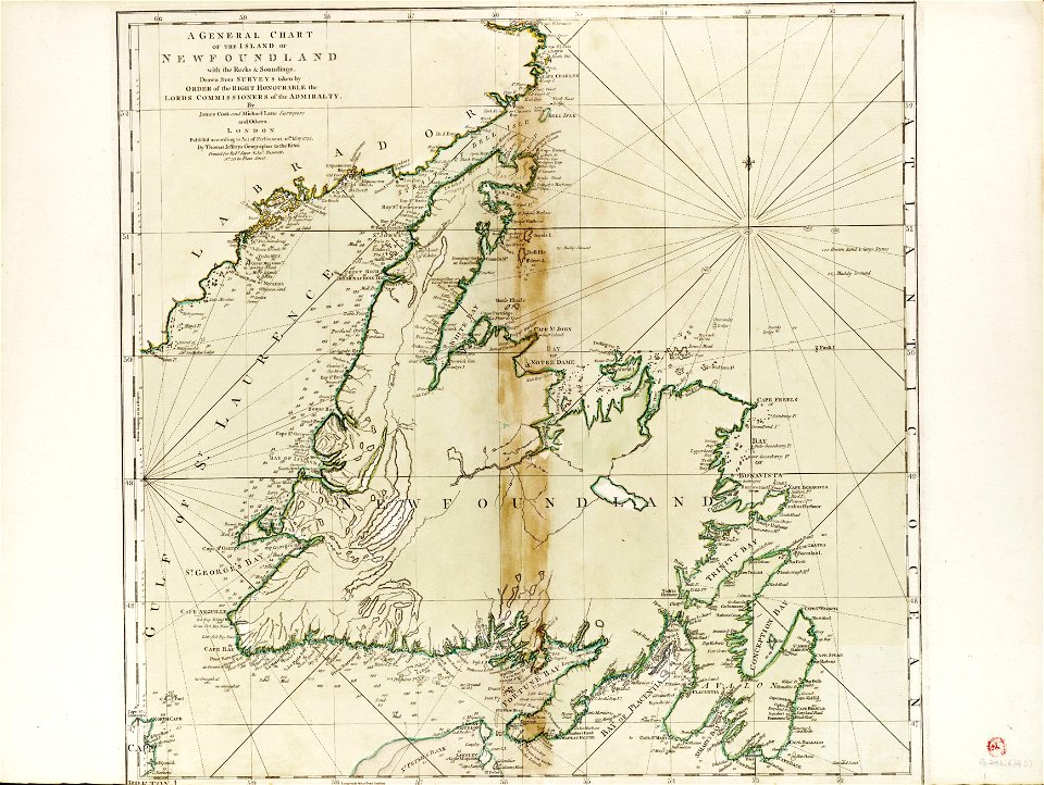
james cook (maps relating to)
charts and maps of the royal museums greenwich
1632 maps
charts and maps of the royal museums greenwich
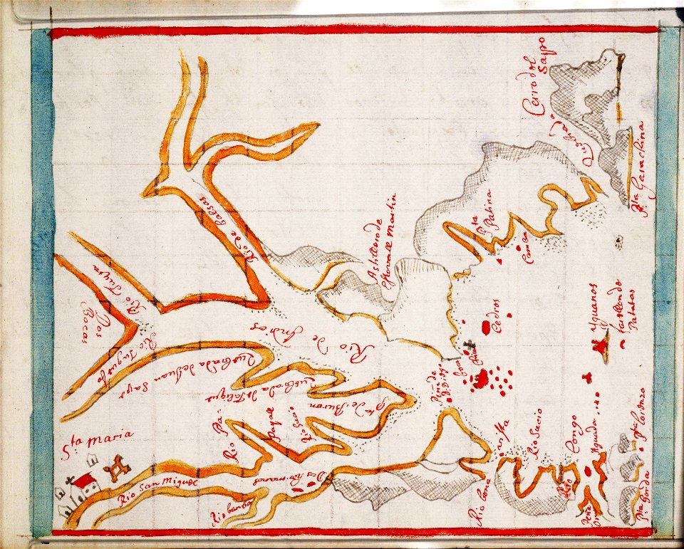
1682 maps
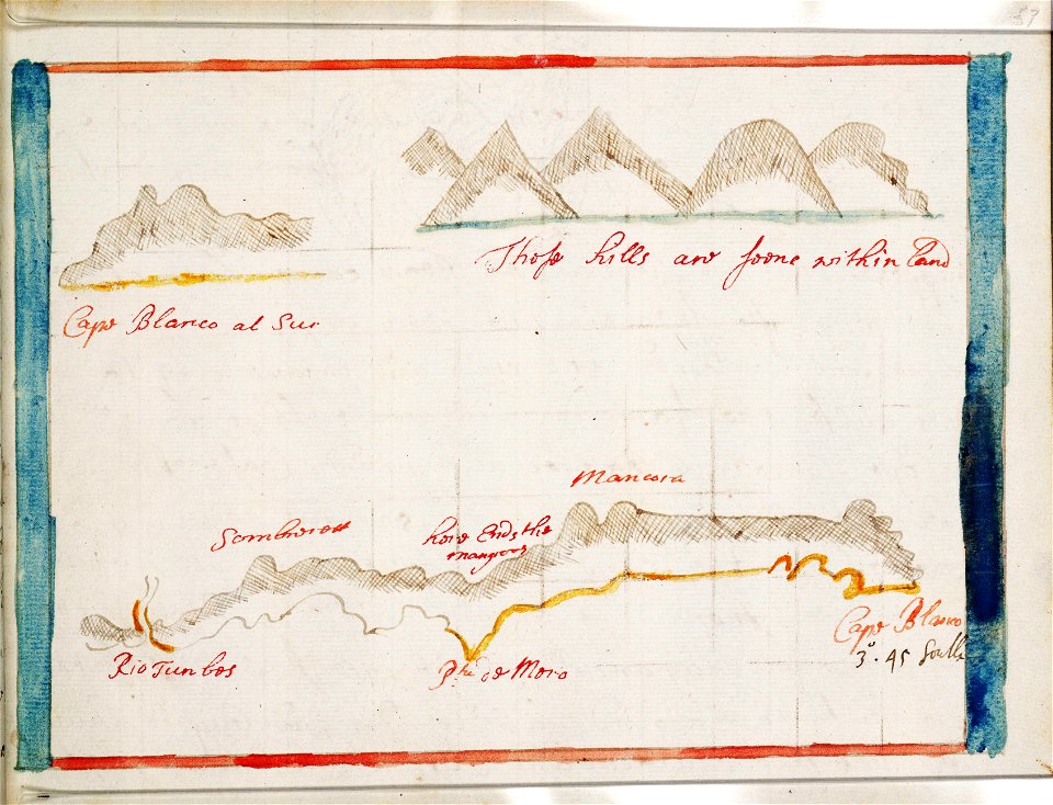
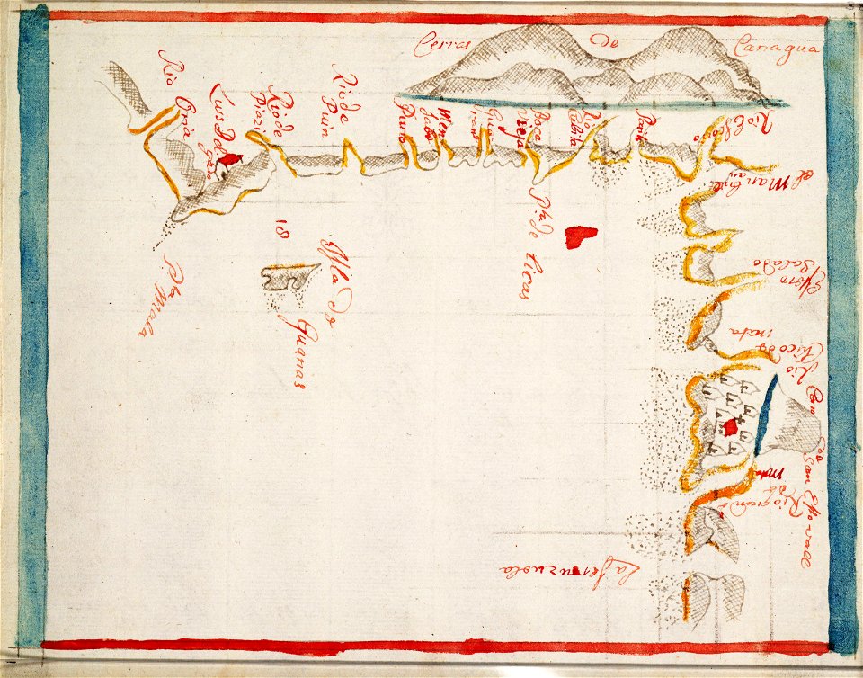
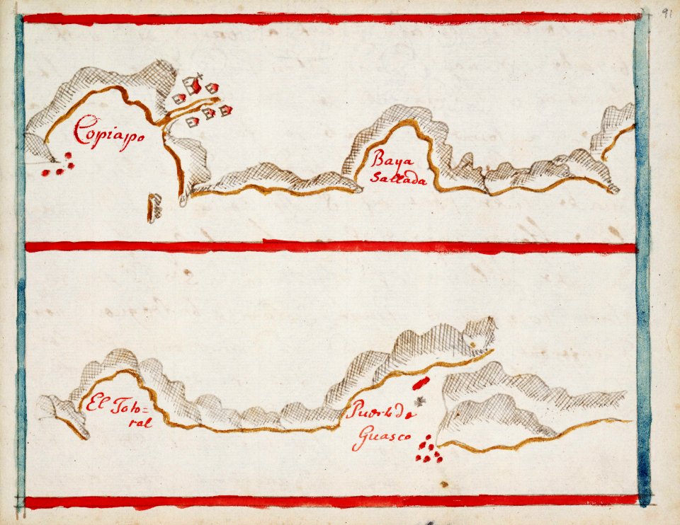
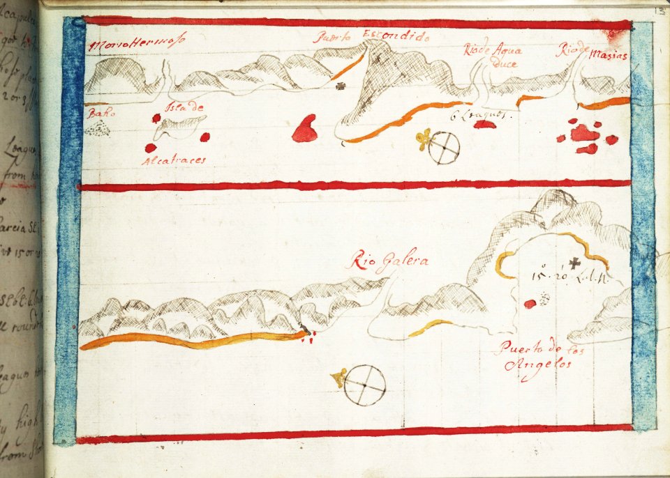
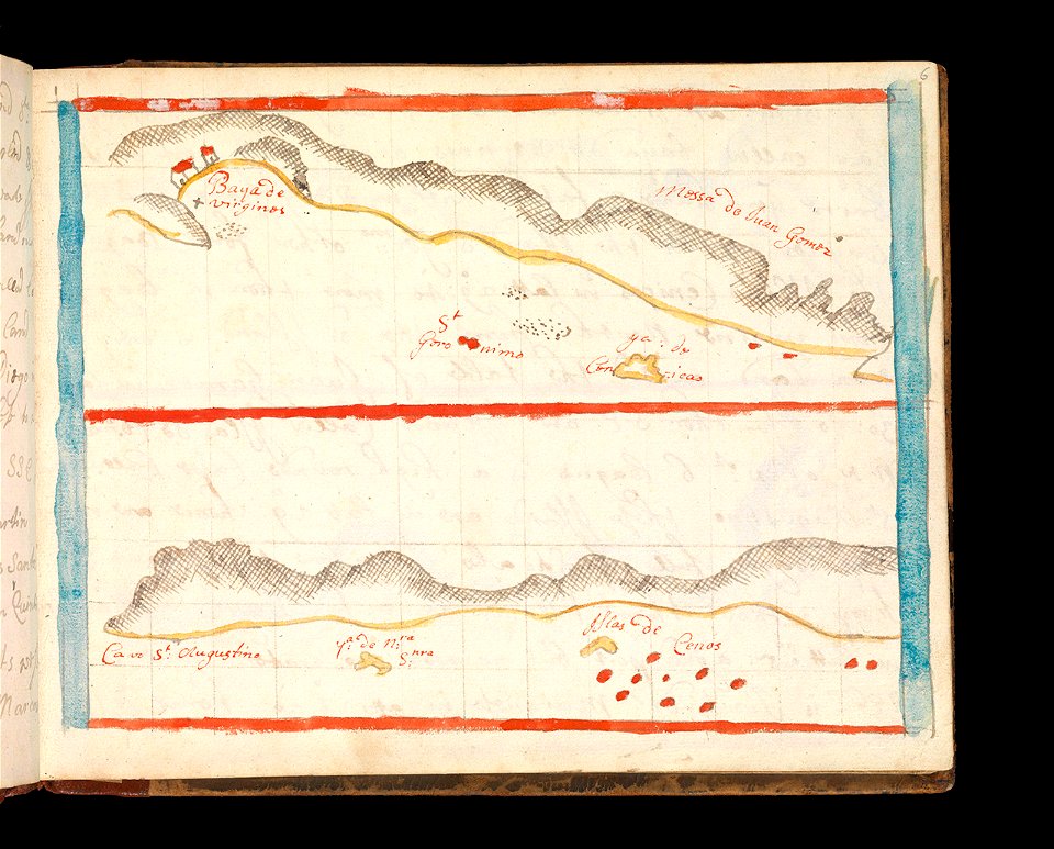
charts and maps of the royal museums greenwich
1682 maps
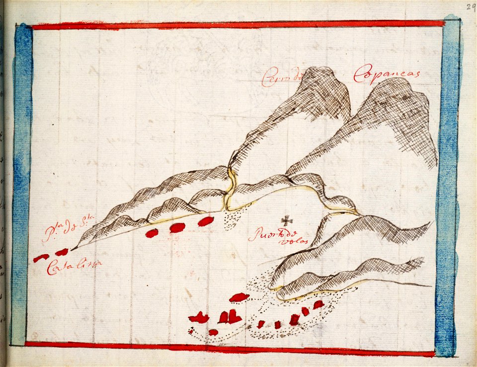
charts and maps of the royal museums greenwich
1682 maps
charts and maps of the royal museums greenwich
1682 maps
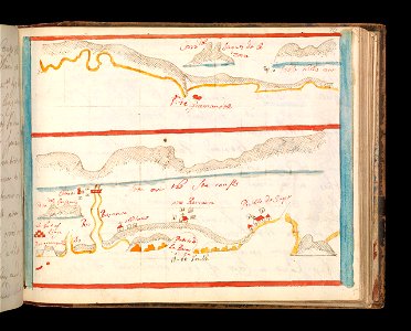
maps in the library of congress
1680 maps
charts and maps of the royal museums greenwich
1682 maps
old celestial maps
charts and maps of the royal museums greenwich
1682 maps
charts and maps of the royal museums greenwich
1682 maps
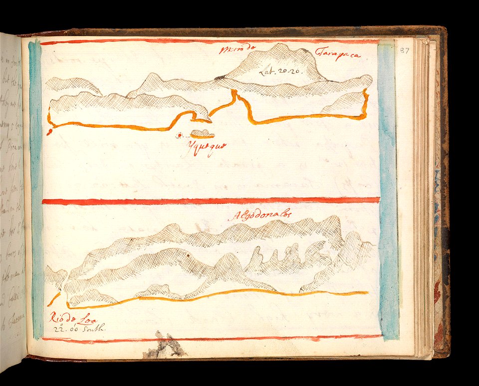
charts and maps of the royal museums greenwich
1682 maps
charts and maps of the royal museums greenwich
1682 maps
charts and maps of the royal museums greenwich
1682 maps
charts and maps of the royal museums greenwich
1682 maps
charts and maps of the royal museums greenwich
1682 maps
charts and maps of the royal museums greenwich
1682 maps
charts and maps of the royal museums greenwich
1682 maps
charts and maps of the royal museums greenwich
maps by oliva family
charts and maps of the royal museums greenwich
maps by oliva family
charts and maps of the royal museums greenwich
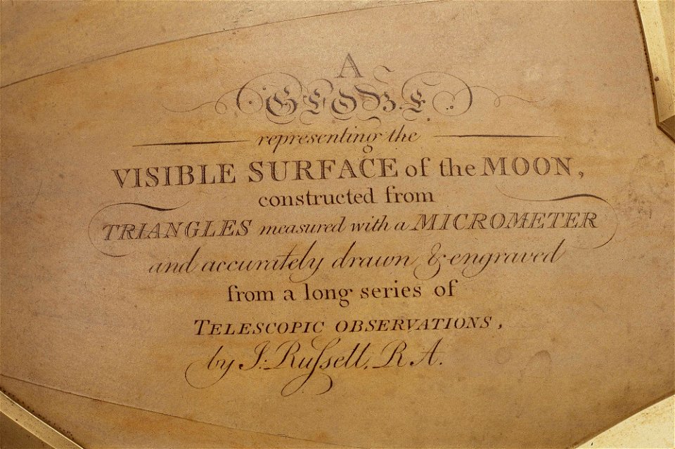
old maps of the moon
charts and maps of the royal museums greenwich
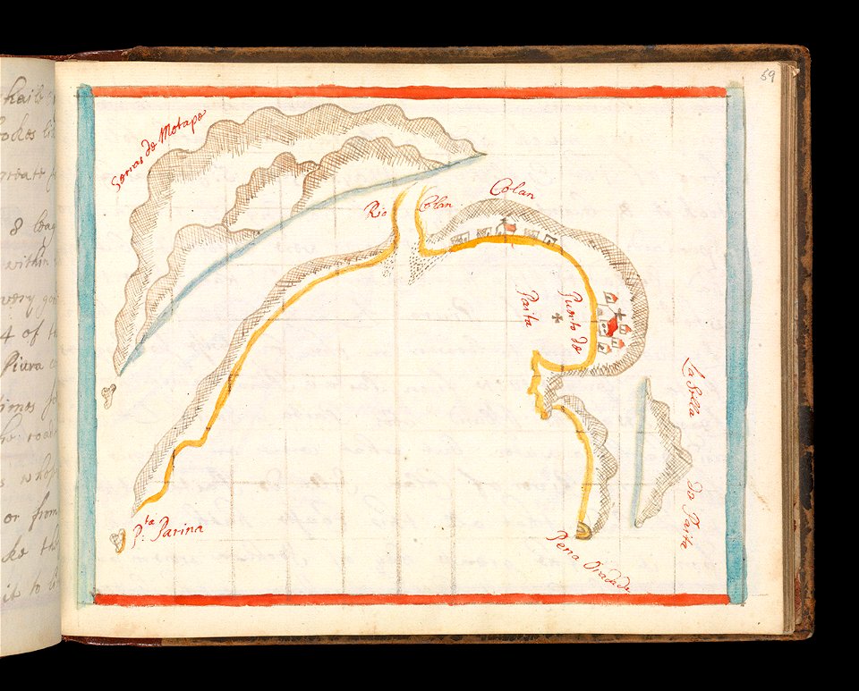
1682 maps
charts and maps of the royal museums greenwich
1682 maps
charts and maps of the royal museums greenwich
1682 maps
charts and maps of the royal museums greenwich
1682 maps
charts and maps of the royal museums greenwich
1684 maps
charts and maps of the royal museums greenwich
1682 maps
charts and maps of the royal museums greenwich
1682 maps
charts and maps of the royal museums greenwich
1682 maps
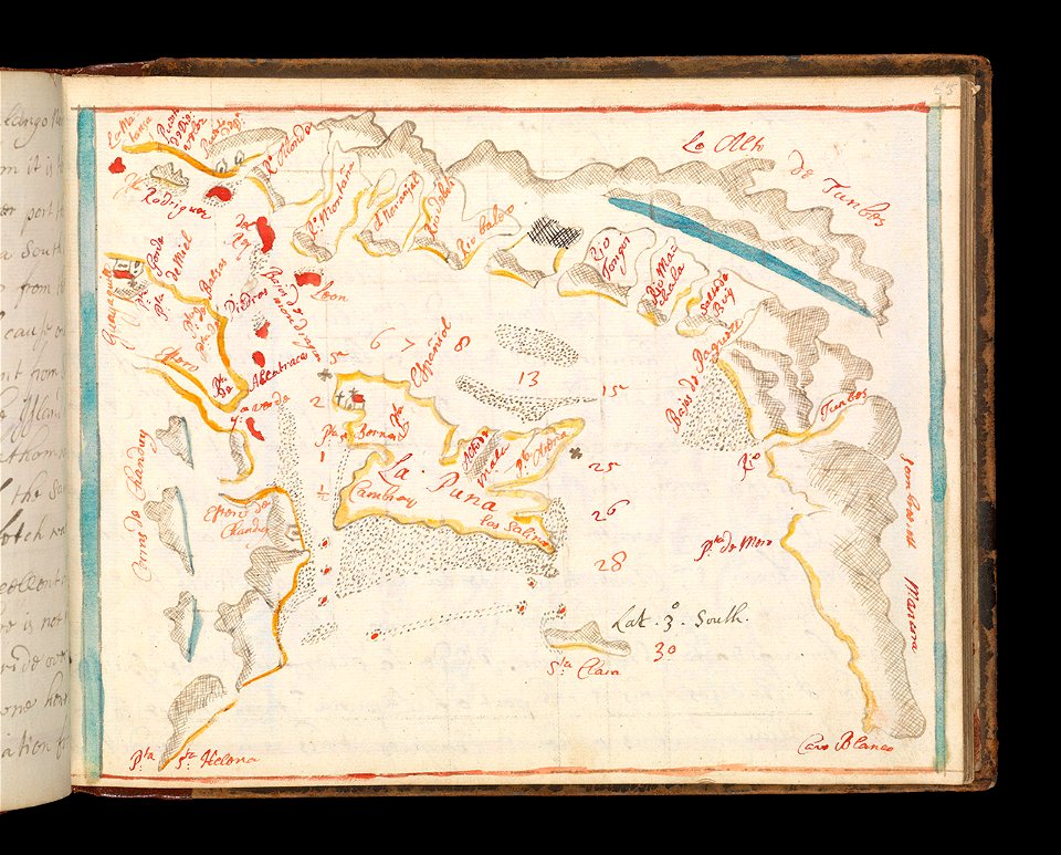
charts and maps of the royal museums greenwich
1682 maps
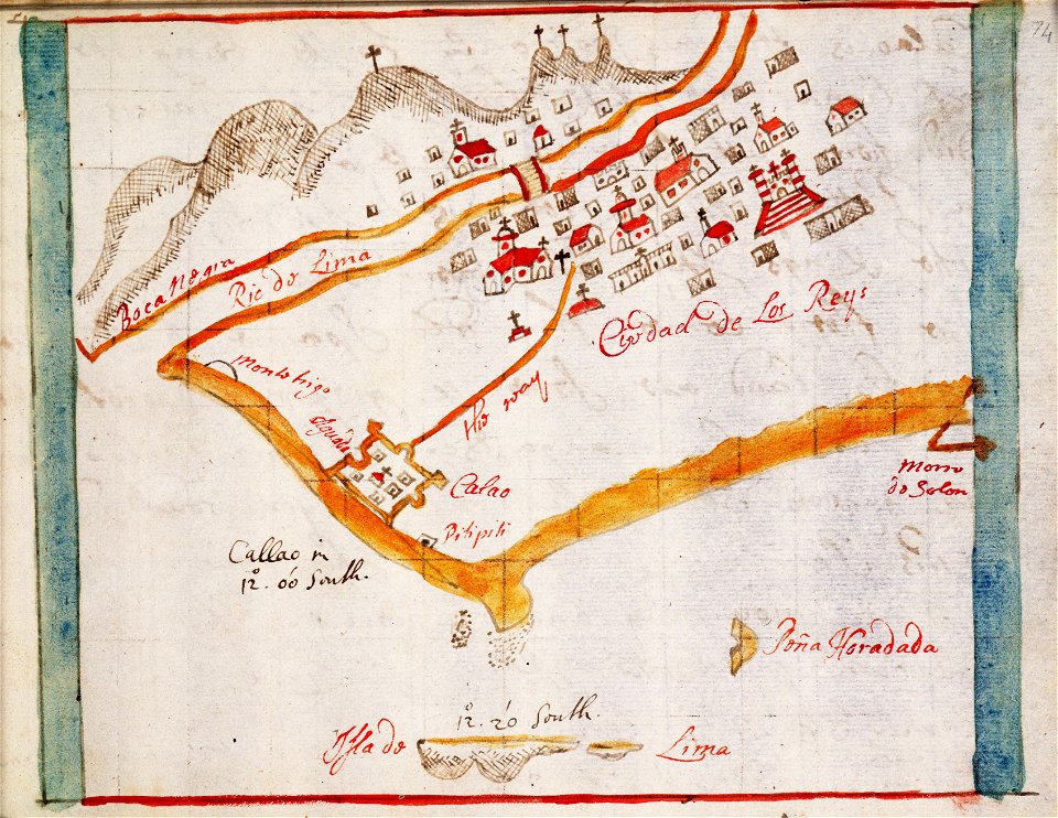
charts and maps of the royal museums greenwich
1682 maps
charts and maps of the royal museums greenwich
1682 maps
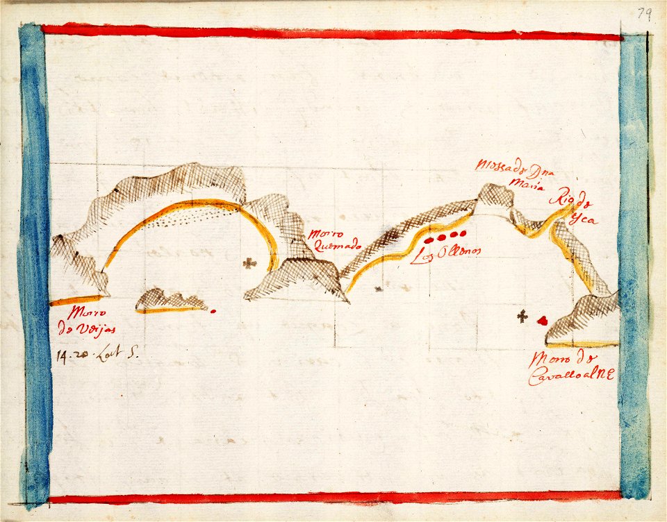
charts and maps of the royal museums greenwich
1682 maps
charts and maps of the royal museums greenwich
1682 maps
charts and maps of the royal museums greenwich
1682 maps
charts and maps of the royal museums greenwich
18th-century maps of the mediterranean sea
charte von schwaben (bohnenberger)
1827 engravings
charts and maps of the royal museums greenwich
maps by oliva family
charts and maps of the royal museums greenwich
old maps of the aegean sea
charts and maps of the royal museums greenwich
1682 maps
charts and maps of the royal museums greenwich
1682 maps
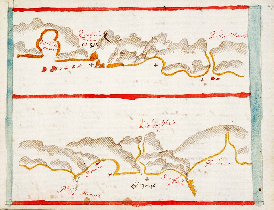
charts and maps of the royal museums greenwich
1682 maps
charts and maps of the royal museums greenwich
1682 maps
charts and maps of the royal museums greenwich
1682 maps
charts and maps of the royal museums greenwich
1682 maps
charts and maps of the royal museums greenwich
1682 maps
charts and maps of the royal museums greenwich
1682 maps
charts and maps of the royal museums greenwich
1682 maps
charts and maps of the royal museums greenwich
1838 maps
charts and maps of the royal museums greenwich
1838 maps
charts and maps of the royal museums greenwich
1682 maps
charts and maps of the royal museums greenwich
1682 maps
charts and maps of the royal museums greenwich
1682 maps
charts and maps of the royal museums greenwich
1682 maps
charts and maps of the royal museums greenwich
1682 maps
charts and maps of the royal museums greenwich
1682 maps
charts and maps of the royal museums greenwich
1682 maps
charts and maps of the royal museums greenwich
1590s maps of the world
charts and maps of the royal museums greenwich
old maps of the aegean sea
charts and maps of the royal museums greenwich
maps by oliva family
charts and maps of the royal museums greenwich
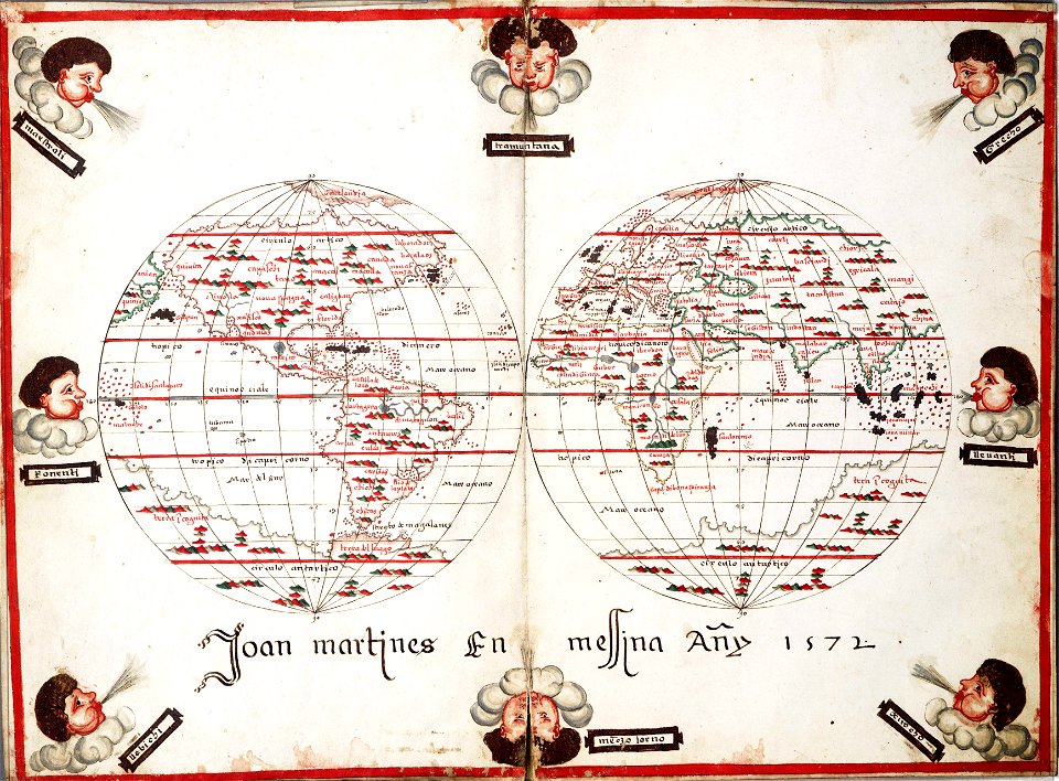
1572 maps
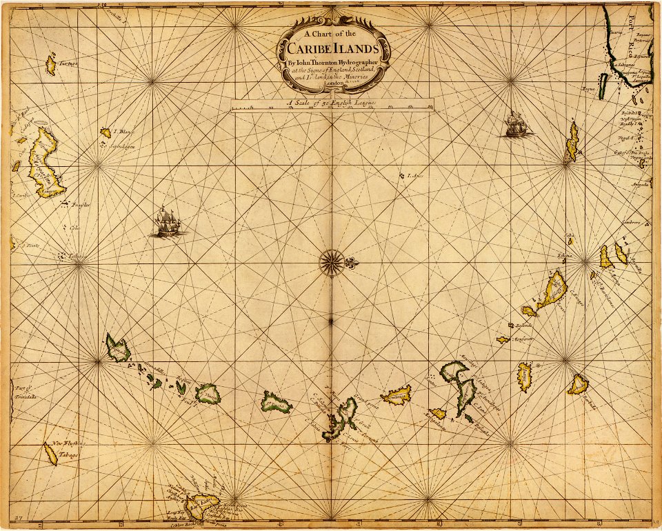
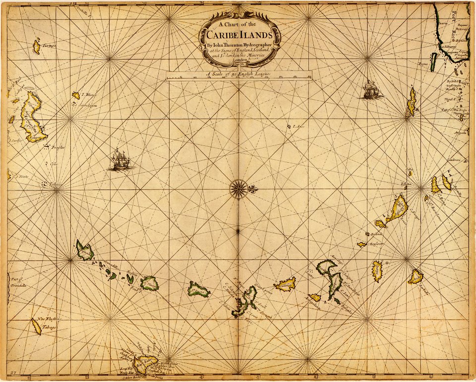
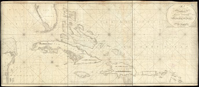
1790s maps of the caribbean
1797 maps
charts and maps of the royal museums greenwich
1682 maps
charts and maps of the royal museums greenwich
1682 maps
charts and maps of the royal museums greenwich
1682 maps
charts and maps of the royal museums greenwich
1682 maps
charts and maps of the royal museums greenwich
1682 maps
charts and maps of the royal museums greenwich
1682 maps
charts and maps of the royal museums greenwich
1682 maps
charts and maps of the royal museums greenwich
1682 maps
charts and maps of the royal museums greenwich
1682 maps
charts and maps of the royal museums greenwich
1682 maps
charts and maps of the royal museums greenwich
1682 maps
charts and maps of the royal museums greenwich
1682 maps
charts and maps of the royal museums greenwich
1682 maps
charts and maps of the royal museums greenwich
1682 maps
charts and maps of the royal museums greenwich
1682 maps
charts and maps of the royal museums greenwich
1682 maps
charts and maps of the royal museums greenwich
1682 maps
old maps of the aegean sea
old maps of crete
charts and maps of the royal museums greenwich
maps by oliva family
charts and maps of the royal museums greenwich
maps by oliva family
charts and maps of the royal museums greenwich
old maps of the aegean sea
alpstein
säntis
charts and maps of the royal museums greenwich
1600 maps
charts and maps of the royal museums greenwich
1621 maps
charts and maps of the royal museums greenwich
1550 maps
charts and maps of the royal museums greenwich
1915 maps
charts and maps of the royal museums greenwich
1682 maps
charts and maps of the royal museums greenwich
1682 maps
charts and maps of the royal museums greenwich
1572 maps
charts and maps of the royal museums greenwich
1682 maps
charts and maps of the royal museums greenwich
1551 maps
charts and maps of the royal museums greenwich
1838 maps
charts and maps of the royal museums greenwich
1755 maps
charts and maps of the royal museums greenwich
1682 maps
charts and maps of the royal museums greenwich
1682 maps
charts and maps of the royal museums greenwich
1682 maps
charts and maps of the royal museums greenwich
1682 maps
101 - 200 of 1,062
Next page
/ 11